
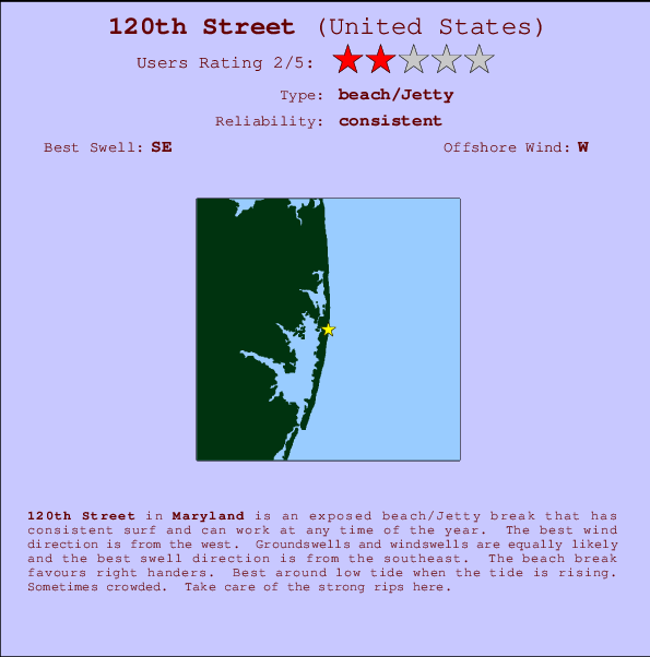
120th Street Surf Guide
120th Street in Delaware is an exposed beach/Jetty break that has consistent surf and can work at any time of the year. Offshore winds blow from the west. Tends to receive a mix of groundswells and windswells and the best swell direction is from the southeast. The beach break offers mainly right hand waves. Best around low tide when the tide is rising. Sometimes crowded. Be wary of rips - they make surfing here dangerous.
120th Street Spot Info
| Type: | Rating: | Reliability: | Todays Sea Temp*: |
|---|---|---|---|
| consistent | 25.5°C*ocean temperature recorded from satellite |
Surfing 120th Street:
The best conditions reported for surf at 120th Street occur when a Southeast swell combines with an offshore wind direction from the West.

Énergie de Vague (puissance): 12h


120th Street Surf:
Thursday, 16 July 2026, 03:05 Local time| Mercredi 15 | Jeu | |||
| 5PM | 8PM | 11PM | 2AM | |
| Wave (m) | ||||
| Période (s) | 9 | 9 | 9 | 5 |
| Vent (km/h) | ||||
| Etat du vent | off | cross- off |
cross- off |
off |
- /breaks/Onehundredandtwentyth-Street/forecasts/latest
120th Street Surf Guide
120th Street in Delaware is an exposed beach/Jetty break that has consistent surf and can work at any time of the year. Offshore winds blow from the west. Tends to receive a mix of groundswells and windswells and the best swell direction is from the southeast. The beach break offers mainly right hand waves. Best around low tide when the tide is rising. Sometimes crowded. Be wary of rips - they make surfing here dangerous.
120th Street Spot Info
Type: Rating: Reliability: Todays Sea Temp*:  Beach/jetty
 2
2consistent 25.5°C*ocean temperature recorded from satelliteSurfing 120th Street:
The best conditions reported for surf at 120th Street occur when a Southeast swell combines with an offshore wind direction from the West.
Énergie de Vague (puissance): 12h
Utilisez les onglets ci-dessus pour voir la température de la mer à 120th Street, photos pour 120th Street, prévisions de houle détaillées pour 120th Street, prévisions de vent et météo, webcams pour 120th Street, conditions de vents en temps réel à partir des données de la station météo de Maryland et prévisions des marées pour 120th Street. Les cartes de houle pour United States afficheront une image agrandie de United States et des ses mers environnantes. Ces cartes de houles peuvent êtres animées pour montrer les différents composantes de houle, la hauteur, la période et l'énergie des vagues avec les prévisions météo et prévisions de vent. Des observations en temps réel du temps et de l'état de la mer sont fournies grâce aux bouées marines de United States, des navires de passages, et des stations météo côtières. Toutes les pages de prévisions pour ce spot de surf ont un Vagu-o-Mètre Local et Global pour facilement trouver les meilleurs spot de surf à proximité de 120th Street.
120th Street Surf:
Thursday, 16 July 2026, 03:05 Local timeMercredi 15 Jeu 5PM 8PM 11PM 2AM Wave (m) Période (s) 9 9 9 5 Vent (km/h) Etat du vent off cross-
offcross-
offoff - /breaks/Onehundredandtwentyth-Street/forecasts/latest
- /breaks/Onehundredandtwentyth-Street/forecasts/latest/six_day
120th Street Surf Guide
120th Street in Delaware is an exposed beach/Jetty break that has consistent surf and can work at any time of the year. Offshore winds blow from the west. Tends to receive a mix of groundswells and windswells and the best swell direction is from the southeast. The beach break offers mainly right hand waves. Best around low tide when the tide is rising. Sometimes crowded. Be wary of rips - they make surfing here dangerous.
120th Street Spot Info
Type: Rating: Reliability: Todays Sea Temp*: Beach/jetty2consistent 25.5°C*ocean temperature recorded from satelliteSurfing 120th Street:
The best conditions reported for surf at 120th Street occur when a Southeast swell combines with an offshore wind direction from the West.
Énergie de Vague (puissance): 12h
Utilisez les onglets ci-dessus pour voir la température de la mer à 120th Street, photos pour 120th Street, prévisions de houle détaillées pour 120th Street, prévisions de vent et météo, webcams pour 120th Street, conditions de vents en temps réel à partir des données de la station météo de Maryland et prévisions des marées pour 120th Street. Les cartes de houle pour United States afficheront une image agrandie de United States et des ses mers environnantes. Ces cartes de houles peuvent êtres animées pour montrer les différents composantes de houle, la hauteur, la période et l'énergie des vagues avec les prévisions météo et prévisions de vent. Des observations en temps réel du temps et de l'état de la mer sont fournies grâce aux bouées marines de United States, des navires de passages, et des stations météo côtières. Toutes les pages de prévisions pour ce spot de surf ont un Vagu-o-Mètre Local et Global pour facilement trouver les meilleurs spot de surf à proximité de 120th Street.
120th Street Surf:
Thursday, 16 July 2026, 03:05 Local timeMercredi 15 Jeu 5PM 8PM 11PM 2AM Wave (m) Période (s) 9 9 9 5 Vent (km/h) Etat du vent off cross-
offcross-
offoff - /breaks/Onehundredandtwentyth-Street/forecasts/latest
120th Street Surf Guide
120th Street in Delaware is an exposed beach/Jetty break that has consistent surf and can work at any time of the year. Offshore winds blow from the west. Tends to receive a mix of groundswells and windswells and the best swell direction is from the southeast. The beach break offers mainly right hand waves. Best around low tide when the tide is rising. Sometimes crowded. Be wary of rips - they make surfing here dangerous.
120th Street Spot Info
Type: Rating: Reliability: Todays Sea Temp*: Beach/jetty2consistent 25.5°C*ocean temperature recorded from satelliteSurfing 120th Street:
The best conditions reported for surf at 120th Street occur when a Southeast swell combines with an offshore wind direction from the West.
Énergie de Vague (puissance): 12h
Utilisez les onglets ci-dessus pour voir la température de la mer à 120th Street, photos pour 120th Street, prévisions de houle détaillées pour 120th Street, prévisions de vent et météo, webcams pour 120th Street, conditions de vents en temps réel à partir des données de la station météo de Maryland et prévisions des marées pour 120th Street. Les cartes de houle pour United States afficheront une image agrandie de United States et des ses mers environnantes. Ces cartes de houles peuvent êtres animées pour montrer les différents composantes de houle, la hauteur, la période et l'énergie des vagues avec les prévisions météo et prévisions de vent. Des observations en temps réel du temps et de l'état de la mer sont fournies grâce aux bouées marines de United States, des navires de passages, et des stations météo côtières. Toutes les pages de prévisions pour ce spot de surf ont un Vagu-o-Mètre Local et Global pour facilement trouver les meilleurs spot de surf à proximité de 120th Street.
120th Street Surf:
Thursday, 16 July 2026, 03:05 Local timeMercredi 15 Jeu 5PM 8PM 11PM 2AM Wave (m) Période (s) 9 9 9 5 Vent (km/h) Etat du vent off cross-
offcross-
offoff Tide Times:
Pour Fenwick Island Light, Delaware, %{dist} %{km} de %{location}.
PROCHAIN EST A (heure locale) il reste marée haute marée basse 120th Street Tide Times and Tide Chart
Live Weather:
At BUOY-44084, 11 km from 120th Street.
- Air temperature
-°COverall 120th Street Surf Consistency and Wind Distribution in Juillet


Wind stats for 120th Street: see the variation in direction and stength by month.
Photos de Surf
de la galerieContours: Routes et Rivières: Sélectionnez un spot de surf du menu 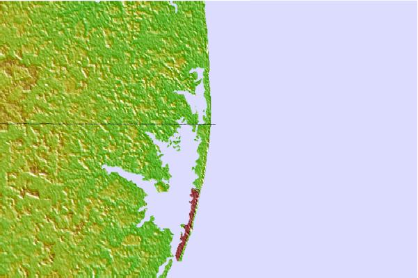
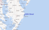
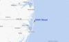
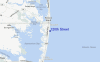
Utilisez cette carte en relief pour naviguer vers les spots de surf de Maryland, et les stations de marées aux alentours de 120th Street
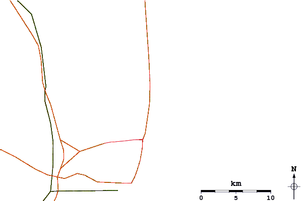
Spots de Surf les plus proches de 120th Street:
(Cliquez sur le nom du spot pour plus de détails)- Closest spot2 mi
- Second closest spot2 mi
- Third closest spot3 mi
- Fourth closest spot6 mi
- Fifth closest spot8 mi
Bouées marines les plus proches de 120th Street:
- Closest Bouées marines19 mi
- Second closest Bouées marines49 mi
- Third closest Bouées marines75 mi
- Fourth closest Bouées marines76 mi
- Fifth closest Bouées marines88 mi
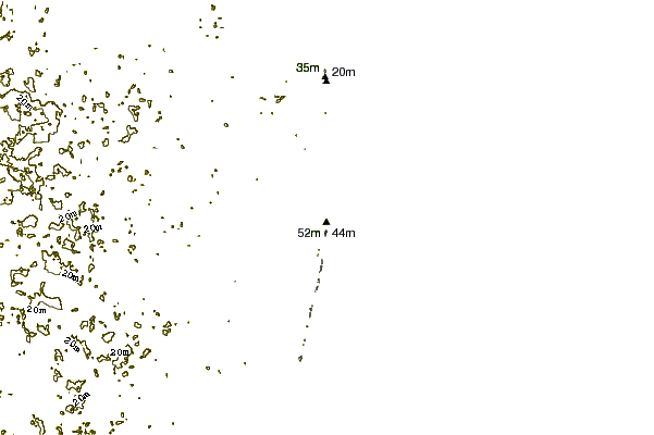
Stations de marée les plus proches de 120th Street:
- Closest station de maréeFenwick Island Light1 mi
- Second closest station de maréeOcean Pines6 mi
- Third closest station de maréeKeydash, Isle of Wight Bay7 mi
- Fourth closest station de maréeOcean City, Isle of Wight Bay7 mi
- Fifth closest station de maréeOcean City (fishing pier)8 mi
Airports
- The closest passenger airport to 120th Street is Salisbury Ocean City Wicomico Rgnl Airport (SBY) in USA, 42 km (26 miles) away (directly).
- The second nearest airport to 120th Street is Cape May Co (Wildwood) Airport (WWD), also in USA, 65 km (40 miles) away.
- Third is Wallops Flight Facility Airport (WAL) in USA, 66 km (41 miles) away.
- Dover Afb Airport (DOV) in USA is 85 km (53 miles) away.
- Millville Muni Airport (MIV), also in USA is the fifth nearest airport to 120th Street and is 103 km (64 miles) away.
- /breaks/Onehundredandtwentyth-Street/forecasts/latest


 Nearest