Indicator Prévisions de Surf et Surf Report
(Los Angeles County, USA)
- Forecast
- Maps
- Live
- Weather State
- Spot Information
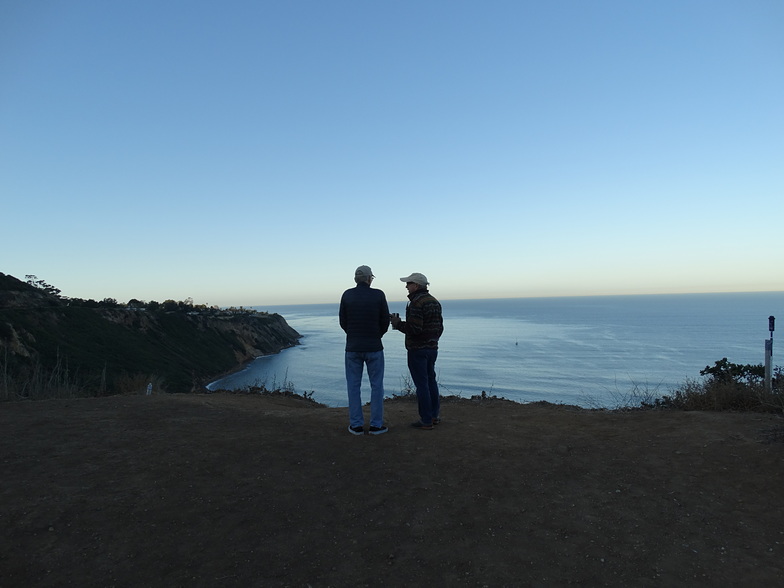 Photo by: RedondoBeachSurf
Indicator Surf Guide
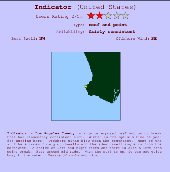
Indicator in LA County is a reasonably exposed reef and point break that has reasonably consistent surf. Winter is the best time of year for surfing here. Offshore winds are from the southeast. Most of the surf here comes from groundswells and the ideal swell direction is from the northwest. Reef breaks provide lefts and rights and there is also a left hand point break. Best around mid tide. A fairly popluar wave that can sometimes get crowded Hazards include rocks and rips.
Indicator Spot Info
| Type: | Rating: |
|---|---|
| Reliability: | Todays Sea Temp*: |
| fairly consistent | 54°F*ocean temperature recorded from satellite |
Surfing Indicator:
The best conditions reported for surf at Indicator occur when a Northwest swell combines with an offshore wind direction from the Southeast.
Indicator Surf:
Friday, 4 April 2025, 13:45 Local time| Vendredi 04 | ||||
| 2PM | 5PM | 8PM | 11PM | |
| Wave (ft) | ||||
| Période (s) | 7 | 18 | 18 | 18 |
| Vent (mph) | ||||
| Etat du vent | cross | cross- on |
cross- on |
cross- on |
Tide Times:
Pour Palos Verdes Estates, 4 miles de Indicator.
| PROCHAIN | EST A (heure locale) | il reste |
|---|---|---|
| marée haute | ||
| marée basse |
Indicator Tide Times and Tide Chart
Live Weather:
At Torrance Municipal Airport, 6.2 miles from Indicator.
| light winds from the W mph | Dry and partly cloudy | Air temperature 64 °F |
Current weather near Indicator
Buoy Data:
At San Pedro, CA, 12 miles from Indicator.
| 8AM | 9AM | 10AM | 11AM | |
| Age des données | 4 hr | 3 hr | 2 hr | 1 hr |
| hauteur de la vague (ft) |
|
|
|
|
| Période Dominante (s) | 7 | 7 | 6 | 7 |
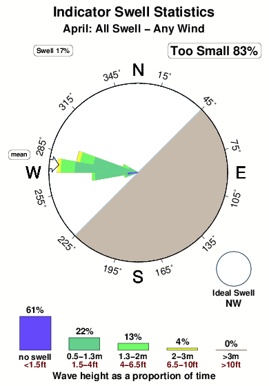
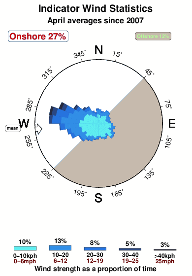
Overall Indicator Surf Consistency and Wind Distribution in Avril
| Contours: | Routes et Rivières: | Sélectionnez un spot de surf du menu |
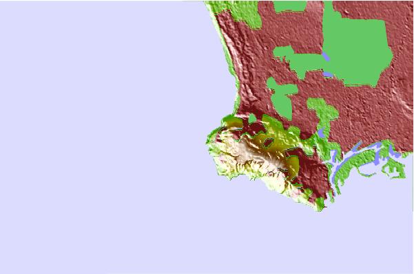
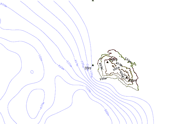
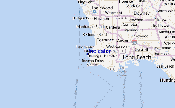
Utilisez cette carte en relief pour naviguer vers les spots de surf de CAL - LA County, et les stations de marées aux alentours de Indicator
Spots de Surf les plus proches de Indicator:
(Cliquez sur le nom du spot pour plus de détails)- Closest spot0 mi
- Second closest spot1 mi
- Third closest spot1 mi
- Fourth closest spot1 mi
- Fifth closest spot2 mi
Bouées marines les plus proches de Indicator:
- Closest Bouées marines12 mi
- Second closest Bouées marines13 mi
- Third closest Bouées marines14 mi
- Fourth closest Bouées marines20 mi
- Fifth closest Bouées marines34 mi
Stations de marée les plus proches de Indicator:
- Closest station de maréePalos Verdes Estates2 mi
- Second closest station de maréeRancho Palos Verdes3 mi
- Third closest station de maréeKing Harbor, Santa Monica Bay5 mi
- Fourth closest station de maréeLomita6 mi
- Fifth closest station de maréeManhattan Beach7 mi
Airports
- The closest passenger airport to Indicator is Jack Northrop Fld Hawthorne Muni Airport (HHR) in USA, 18 km (11 miles) away (directly).
- The second nearest airport to Indicator is Los Angeles International Airport (LAX), also in USA, 18 km (11 miles) away.
- Third is Long Beach Airport (LGB) in USA, 26 km (16 miles) away.
- Burbank Glendale Pasadena Airport (BUR) in USA is 47 km (29 miles) away.
- John Wayne Arpt Orange Co (Santa Ana) Airport (SNA), also in USA is the fifth nearest airport to Indicator and is 53 km (33 miles) away.












 Nearest