Swakopmund Namibia Carte Météo

Retourner aux Cartes Statiques | Voir les Cartes Animées
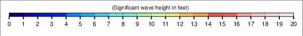
Autres périodes de temps pour cette carte de Hauteur de Vague:

|

|

|

|

|

|

|

|

|

|

|

|

|

|

|

|

|

|

|

|

|

|

|

|

|

|

|

|

|

|
Retourner aux Cartes Statiques | Voir les Cartes Animées
|
|
|
|
|
|
|
|
|
|
|
|
|
|
|
|
|
|
|
|
|
|
|
|
|
|
|
|
|
|
|
|
|
|
|
|


© 2025 Snow-Forecast.com | Terms of Service | Privacy | Cookie Policy
 Nearest